Oceanography
From Thermohaline Circulation to the Global Carbon Sink:
High-Resolution Modeling for a Sustainable Planet.
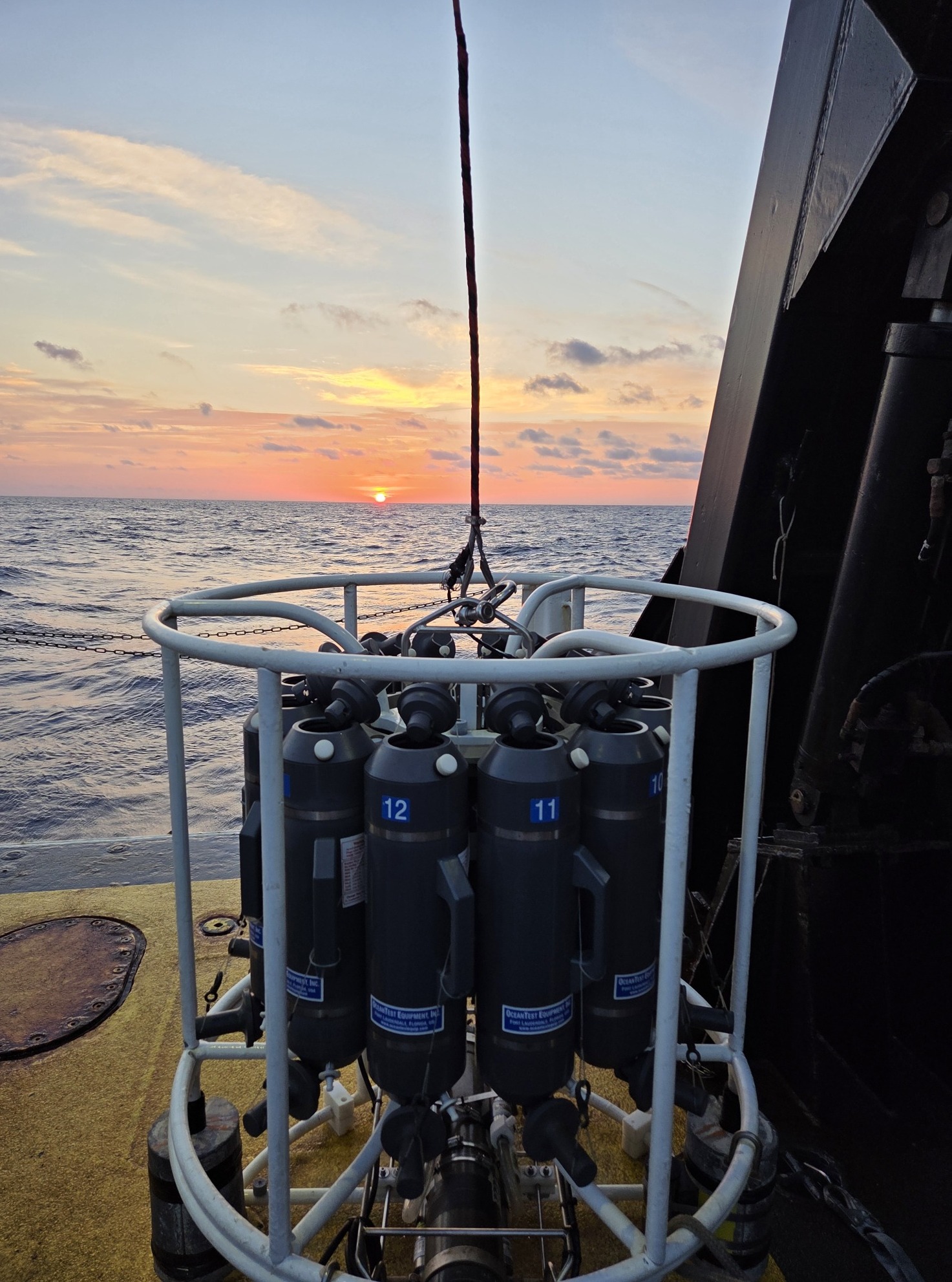
Image: Cassia Busch, USGS
Mapping the Blue Frontier
In 2026, the ocean is no longer a void but a critical digital space. Closing knowledge gaps in ocean carbon sequestration and deep-sea current dynamics requires a fusion of satellite data, autonomous sensors, and GPU-accelerated HPC architectures. Malgukke provides the infrastructure to resolve these complex fluid systems with unprecedented fidelity.
Fluid Dynamics & Thermohaline Flow
Resolving the Atlantic Meridional Overturning Circulation (AMOC) and sub-mesoscale eddies through petascale CFD solvers.
Coastal Protection & Carbon Research
Tracking the evolution of the ocean carbon sink and protecting coastal megacities from hazards.
Oceanic Logic: Ingestion -> Inversion -> Impact
| Focus Area | HPC / Action | Scientific ROI |
|---|---|---|
| Ocean Carbon Cycle | GPU-accelerated interpolation of multi-source pCO2 data. | Accurate Carbon Budgets |
| Arctic Dynamics | 1/10° high-resolution pan-Arctic wave modeling. | Navigation & Ice Tracking |
Global Pillars of Ocean Research
Voices from the Field
Researchers working across ocean circulation and the marine carbon sink share their insights in recent interviews:
Stefan Rahmstorf
Potsdam Institute for Climate Impact Research (PIK)
On why the probability of an AMOC tipping point being reached this century is now estimated at over 50 percent.
Read articleJacqueline Behncke
GEOMAR Helmholtz Centre for Ocean Research Kiel (formerly MPI-M)
On using machine learning and citizen-science sailboat data to correct systematic underestimates of the Southern Ocean carbon sink.
Read articleMalgukke Insight: Breaking the Memory Wall
Computational oceanography is limited not by peak FLOPs, but by data throughput.
Resolving the vertical stratification of the ocean requires massive double-precision performance and ultra-fast memory access. Malgukke architectures utilize NVIDIA Blackwell GPU arrays and flash-native storage tiers (Lustre/GPFS) to ingest petabytes of satellite data, ensuring that critical climate signals are never lost.